Why is Ukraine still in the grip of cold weather, and when can we expect warmer temperatures?

In the coming days, the weather in Ukraine will be determined by the Asian anticyclone — a large area of high atmospheric pressure stretching from Central Asia to Eastern Europe, according to weather forecaster Natalka Didenko on Facebook. It is the cause of persistent frosts, lack of significant precipitation and increased danger on the roads.
As forecasters explain, this anticyclone is often mistakenly called "Siberian," but it is more correct to use the name based on its geographical origin — Asian or Central Asian. It is characterised by dry air, light winds and sharp temperature contrasts depending on the season: severe frosts in winter and heat in summer.
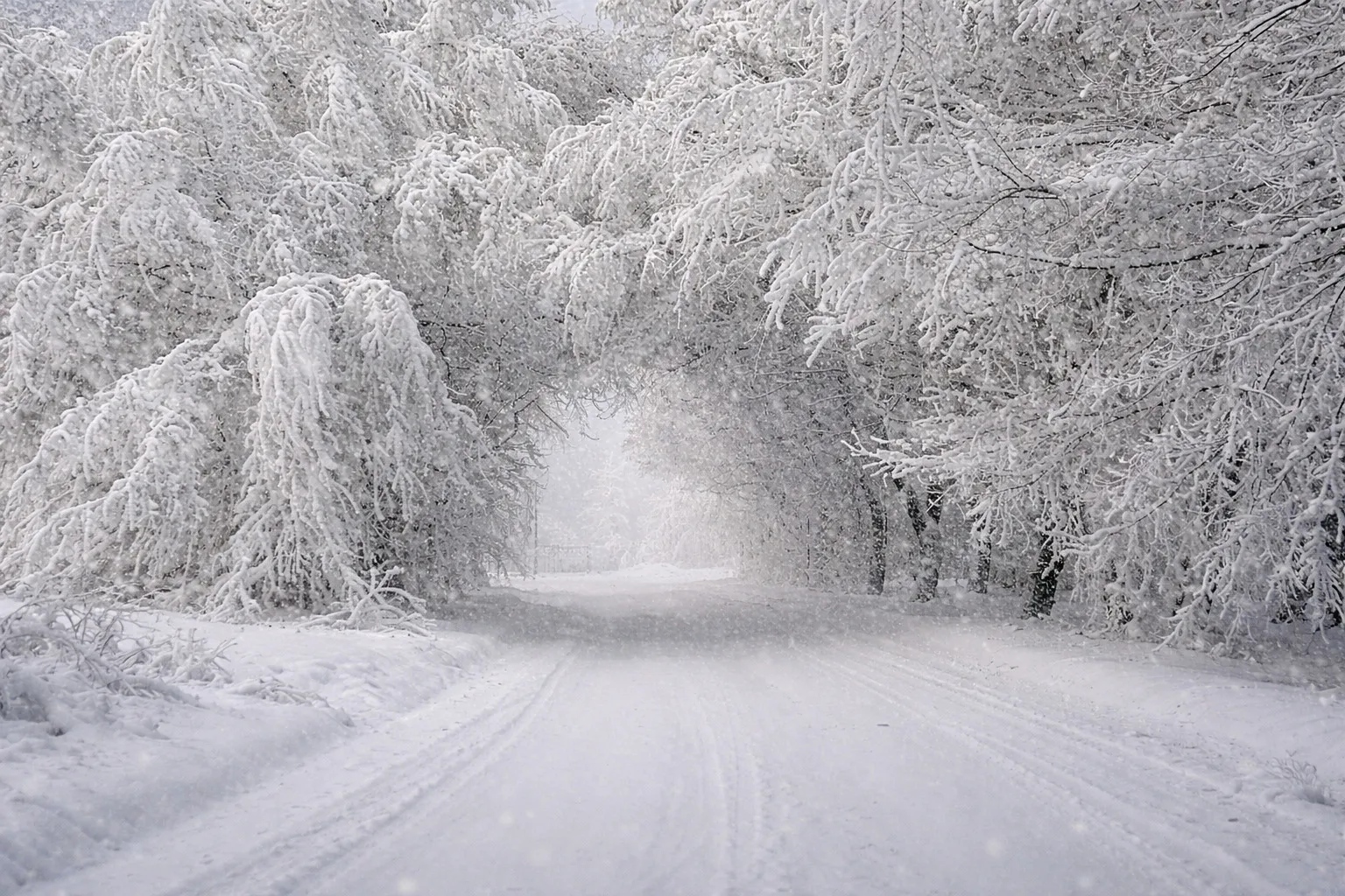
On 17–18 January, no significant precipitation is expected in most of Ukraine. Only in Crimea is snow possible. Roads across the country will remain icy. In some regions, particularly in the south, gusts of north-easterly wind are forecast, which may reach storm levels.
The air temperature will remain consistently low:
- at night from -10 to -16 degrees,
- in the north in some places down to -22,
- during the day -9...-15 degrees,
- in Zakarpattia and the far south -2...-5 degrees.
Cold weather without precipitation is expected in Kyiv over the weekend. At night, the temperature will drop to -15...-18 degrees, during the day — around -10...-12. Black ice will remain.
According to preliminary forecasts, the frosty weather will continue in Ukraine at least until the end of January. Weather forecasters urge people to be careful on the roads and dress warmly.
Weather in Ukraine, anticyclone, Asian anticyclone, frosts, weather forecast, January 2026, Natalka Didenko