
An earthquake measuring 7.3 on the Richter scale struck off the coast of Mexico

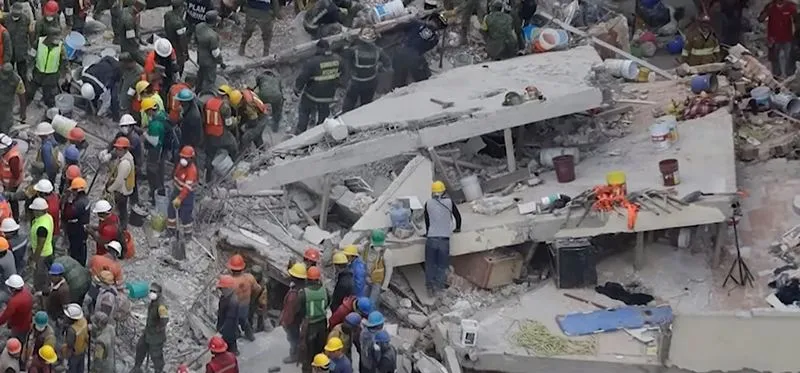
This is reported by THE EPOCH TIMES.
What is known about the earthquake
According to the US Geological Survey (USGS), the epicentre was located in the Pacific Ocean, approximately 58 kilometres from the coastal town of Puerto Madero. The earthquake’s focus lay at a depth of 15.2 kilometres. Seismologists initially estimated the magnitude at 7.4, but later revised it to 7.3.
Mexican President Claudia Sheinbaum reported that emergency response protocols had been activated across the country following the tremors. She said that no significant damage had been reported in the states of Chiapas and Tabasco.
Guatemalan President Bernardo Arévalo also stated that no reports of casualties had been received. At the same time, in several towns across the country, people evacuated their homes and offices due to the strong tremors.
Is there a tsunami threat?
Following the earthquake, the US Tsunami Warning System reported the possibility of dangerous waves forming along the coast within a radius of up to 300 kilometres from the epicentre.
According to experts’ forecasts, in certain sections of the coast of Mexico and Guatemala, wave heights could range from 30 centimetres to one metre above high tide.
Mexico’s Minister of the Navy, Raimundo Morales, stated that no serious threat to the coastline was expected, but residents and tourists were advised to stay away from beaches for the time being. According to him, the water level is unlikely to exceed half a metre.
Following the main earthquake, several aftershocks with magnitudes ranging from 5 to 6 were also recorded in the region, which were felt in Mexico, Guatemala and El Salvador.
Follow us on our Telegram channel