Ukraine is using real-time satellite imagery to speed up drone strikes

A small unit of the Ukrainian Armed Forces in the south-east of the country spotted a building concealed by dense trees. A reconnaissance drone was unable to gather sufficient information due to the dense vegetation, so the military used high-quality satellite images that were transmitted directly to phones, tablets and laptops, reports the WSJ.
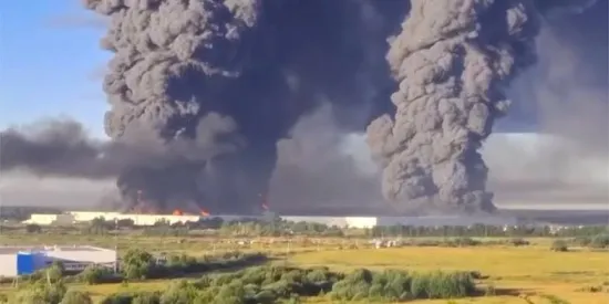
Satellite sensors detected armoured vehicles near the building, which, according to the military, are used by high-ranking Russian officers. After three days of surveillance, the unit concluded that the facility was being used to plan Russian operations. Subsequently, a drone strike was launched against the building and the vehicles.
“It was a job well done. We’ve caused problems for our enemy,” said one of the operation’s participants.
Over the past six months, during testing of the technology, images from Vantor’s commercial satellites have helped increase the speed and accuracy of Ukrainian strikes. According to the developers and mission participants, the time between target detection and strike has been reduced by 90%. The system is complemented by software that allows for detailed analysis of targets.
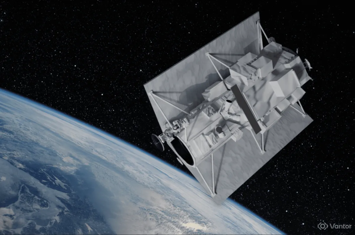
The technology was developed in collaboration between Vantor, the Dutch company Bravo1Alpha, the American firm Persistent Systems, and the Ukrainian defence company Burevii. According to military analysts and company representatives, this is the first known instance where open-source commercial satellite imagery is being fed directly to the military for real-time decision-making.
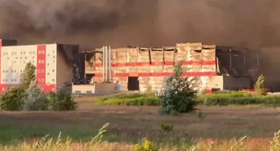
During the spring operation Starfall II, a Ukrainian unit used satellite data to search for Russian targets. One of the objects identified was an ammunition depot in the occupied territory of Ukraine. The military compared new satellite imagery with old photographs and noticed changes that indicated the site’s military use. Strike drones were then directed at the target.
“Every ammunition depot destroyed means at least a few Ukrainian soldiers’ lives saved,” said one of the operation’s participants.
The military notes that satellite reconnaissance allows them to accomplish in a few hours what previously took weeks. According to military analyst Franz Stefan Gady, the reduction in the time between target detection and strike delivery has become one of the key trends of this war at the tactical level.
According to Vantor, satellite images can be delivered to military devices approximately 15 minutes after being received. This avoids lengthy delays in the transmission of intelligence.
The software also allows for the comparison of current and archived images, the detection of changes in the terrain, and the creation of three-dimensional models to select the optimal flight path for the drone.
Analysts note that Ukraine is demonstrating the possibilities opened up by the rapid transmission of intelligence data directly to the military. At the same time, Nand Mulchandani, former director of technology at the US Central Intelligence Agency, emphasised that reducing the number of stages in the information verification process may speed up operations, but also increases the risk of errors.
“There are processes that slow things down, but these processes exist for a reason,” he said.