Ukraine’s Public Cadastral Map 2026: how to quickly check a plot of land online

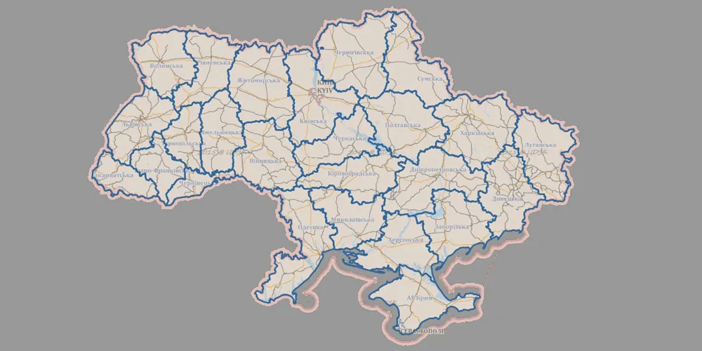
The land market in Ukraine continues to develop rapidly, and with it comes a growing need for quick access to reliable information. This is precisely why the public cadastral map of Ukraine has become one of the key tools for verifying land plots prior to any transactions in 2026.
The current version of the service offers not only basic information but also advanced functionality for more in-depth analysis. Thanks to this, users can assess not only the legal status of a plot but also its actual location and restrictions on use.
Key features of the cadastral map
The service allows you to obtain important information in literally a matter of seconds:
- cadastral number and plot area;
- form of ownership;
- intended use;
- boundaries and location on the map.
This data forms the basis for an initial check before buying or renting land.
New features in 2026
The updates have significantly expanded users’ capabilities. In particular, new data layers have been added:
- natural resources (forests and water bodies);
- administrative boundaries of communities (OTG);
- detailed maps of the area.
This allows a plot to be assessed not only formally, but also in a real-world context — taking into account the surroundings and potential restrictions.
How to use the cadastral map
The verification process is as simple as possible:
- Enter the cadastral number in the search bar.
- Select the required plot on the map.
- Enable additional layers for analysis.
- Check all available characteristics.
This approach helps you quickly get the full picture without having to consult external sources.
Why this is important
In today’s climate, any land transaction requires thorough vetting. Using open data helps you avoid common pitfalls linked to inaccurate information or hidden restrictions.
That is why the Public Cadastral Map has become an essential tool for anyone working with land or planning to invest in this sector.